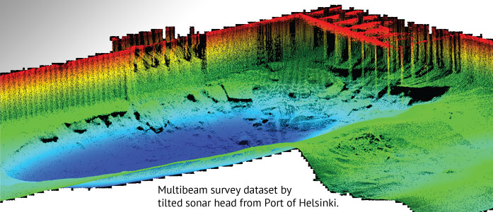
Have you ever wondered how to effectively find out what the seabed looks like in a harbor or how to gather comprehensive information of your coastal infrastructure? According to Hydrographic Survey Engineer, M.Sc. (Surveying), Jani Pötrönen from the Finnish company Meritaito, the solution is acombination of high resolution multibeam (MBES) survey, mobile laser scanning and scanning sonar technology.
The following is a paper from Mr. Pötrönen on how highresolution multibeam (MBES) survey, mobile laser scanning, and scanning sonar technology can be used in an effective way to gather comprehensive information of your coastal infrastructure above and below the water surface.
This article was brought in the May issue of Ocean News.

