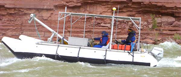
SITUATION
Researchers from Northern Arizona University and the U.S. Geological Survey's Grand Canyon Monitoring and Research Center are conducting survey operations to map the channel of the Colorado River in Grand Canyon National Park. The channel mapping project is part of a large federal effort, called the Glen Canyon Adaptive Management Program, to investigate and mitigate the effects of flows from the Glen Canyon Dam on the downstream environment. The completion of Glen Canyon Dam in 1963 caused a 95% reduction in the delivery of fine-sediment (that is, sand-sized and finer material) to the modern river, reduced the magnitude and frequency of floods, and changed the seasonal flow pattern to regime of daily fluctuations.
These changes have had a significant effect on the fine-sediment resources, resulting in smaller and coarser grained deposits throughout the ecosystem. Sandbars are of particular interest because sandbars form the foundation of the riparian ecosystem and are a fundamental element of the river's geomorphic framework and the landscape of the Grand Canyon. Sediment-laden flows that have the most potential to replenish sandbars are now rare and sandbar erosion has generally outpaced deposition. Throughout Grand Canyon, sandbars create habitat for native plants and animals, camping beaches for river runners and hikers, and provide sediment needed to protect archaeological resources from weathering and erosion. The channel mapping is part of an effort to determine magnitudes and trend of fine sediment storage within the Colorado River in Grand Canyon. The channel mapping data will also provide a complete bathymetric map of the river channel and be used to support improved flow models, sediment transport models, aquatic habitat classifications complete a bathymetric map of the entire river from Lees Ferry to Diamond creek.

