SITUATION
The Port of Rotterdam is an open deep-water port in the river estuary Maas. The location of the port in an estuarine environment necessitates maintenance dredging due to siltation 'attacks' from both tidal current and river discharge. Siltation from the sea, coming in during the flood tide and eroded materials from the hinterland transported in the river flow results in a total of 6.000.000 m3 of maintenance dredging works in the port basins every year.
To control the dredging activities the Port of Rotterdam conducts hydrographic surveys on a daily basis. Two purpose built survey vessels are operated by the Asset Management department of Port of Rotterdam.
The survey vessels are equipped with Teledyne RESON SeaBat multibeam echosounders (model 7101 and 7125), RTK GNSS positioning and silt density equipment (Silas-Odom CV2).
CHALLENGE
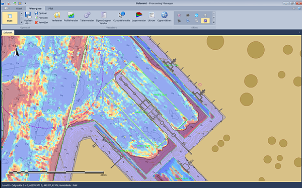
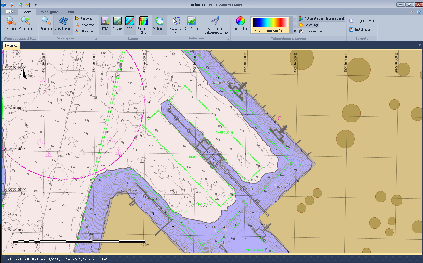
Continuous multibeam surveys result in large data volumes and processing time. The goal of the Asset Management Department is to produce bathymetric products within one day after surveying. Products are:
Bathymetric paper chart for vessel traffic management (VTM) and dredging operations
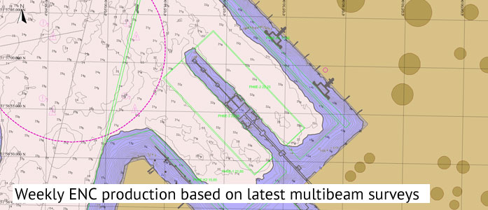
Electronic Navigation Chart (ENC) for portable pilot units (PPU)
ASCII gridded data sets for dredging equipment and GIS analysis
Shipping, berth occupancy, satellite blocking by cranes or container stock piles, sea water mixtures and fluid mud bottoms are a continuous threats to the quality and production rate of the bathymetric surveys. To save processing time the Asset Management Department try to keep up the 'first time yield' level. This process starts with high quality raw multibeam data input. Cleaning data filters will run faster and more accurate based on almost clean raw data obtained from the best available survey equipment.
SURVEY OPERATIONS
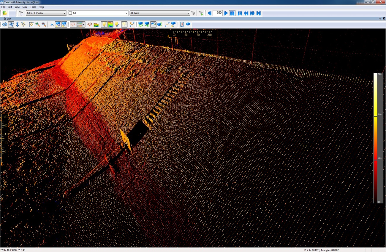
Typical port hydrographic surveys contains locations with slopes, various bottom types and man-made constructions in a relatively small area requiring the use of an all-round multibeam echosounder system that provides:
Wide beam coverage to get depth data as close as possible to water level on slopes
Single transducer head (complexity and data reduction)
Excellent object detection
Variable pulse length settings to optimize acoustics for fluid mud bottoms
High update rate for survey speed up to 10 knots
Side scan option
The SeaBat 7101 and SeaBat 7125 meets all the requirements mentioned above. The data quality is very good hence hardly any data cleaning is necessary post survey. The beam selection settings (to set area of interest) and system displays are features that make the systems particularly user friendly.
RESULTS
Since the end of 2012 the Asset Management department of the Port of Rotterdam developed a range of efficiency efforts to reduce the need for survey personnel and equipment. These efforts resulted in a reduction of about half a survey vessel, representing a cost saving of approximately €150,000 per year; in part due to the upgrade of the multibeam systems to the Teledyne RESON products mentioned above.