Through the collaboration between Teledyne Technologies (Teledyne) and Maritime Tactical Systems (MARTAC), a new integrated solution for the marketplace now exists. This system allows to the easy collection and processing of data utilizing world-leading sensors and software with unparalleled efficiency on a state-of-theart unmanned surface vessel. With this single-source solution, users can achieve high-accuracy data for real-time analysis, providing quick responses with less resource requirements.
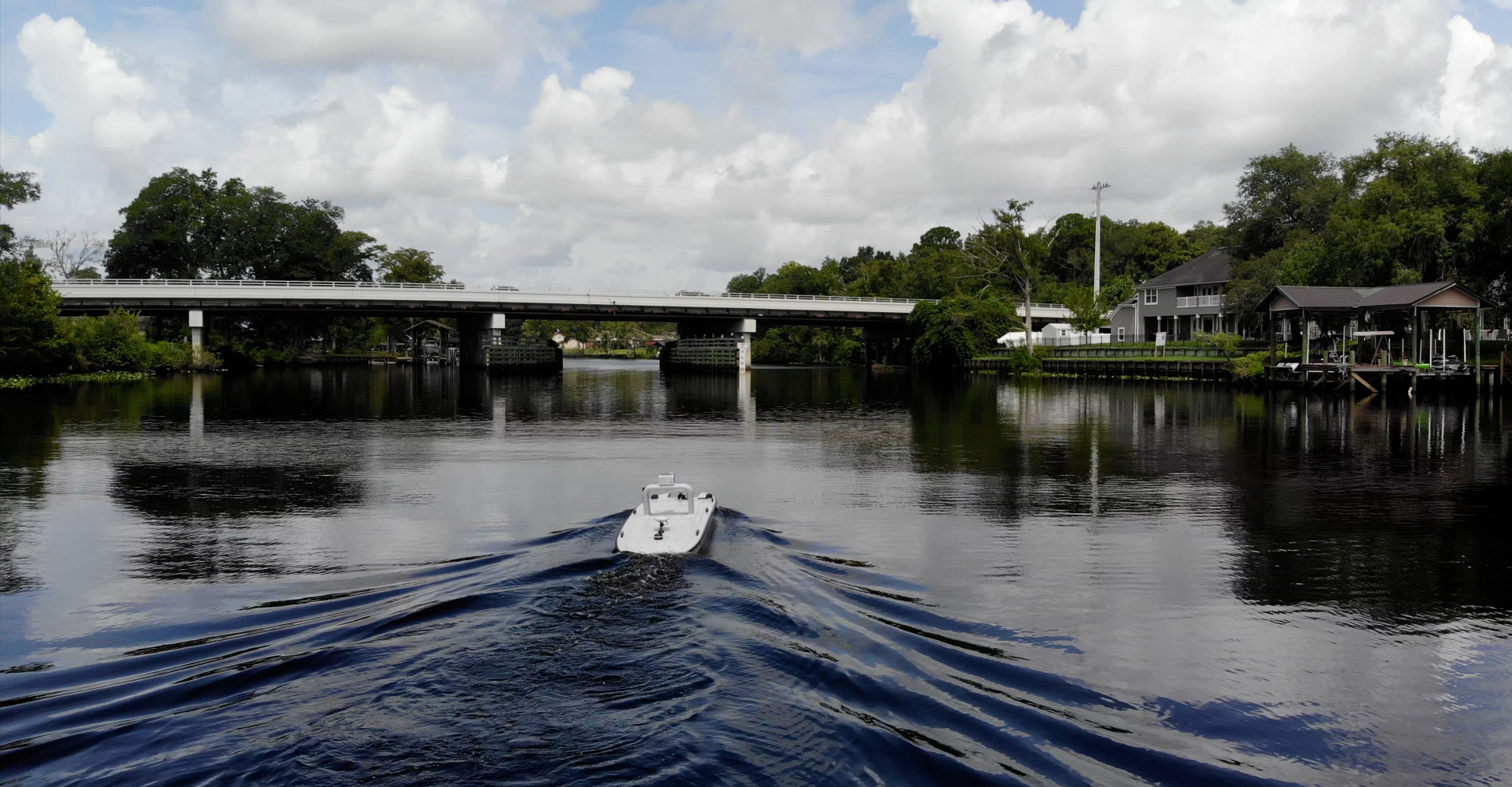
The platform for the solution is the MARTAC Mantas T12 unmanned surface vessel, housing a Teledyne SeaBat T20 multibeam echosounder mounted to the underside of the T12 and the Teledyne Optech CL-360M LiDAR mounted to the T-12 topside A-Frame. All components are interfaced to the onboard Mantas computer which included the T12 Command and Control Software. For data acquisition and post processing Teledyne PDS multipurpose software and CARIS Onboard Post-Processing software were used. All systems were controlled remotely from a secondary manned vessel.

