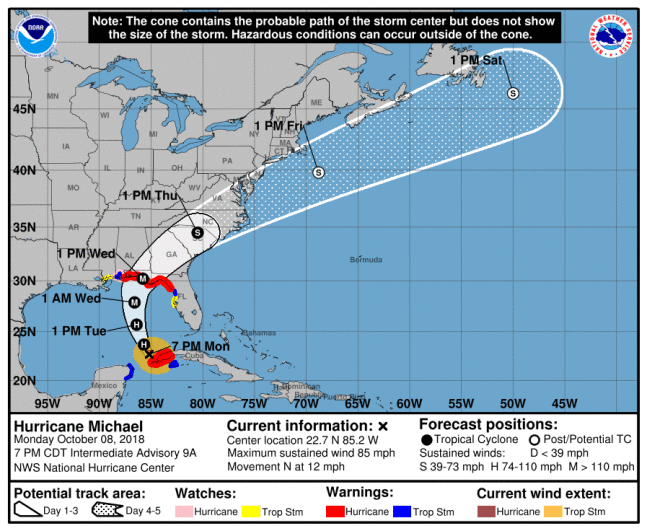
While most people try to avoid hurricanes, oceanographers sometimes seek them out. Such was the case in early October, 2018, when a team from the University of Miami, joined by the Scripps Institution, air-deployed several Teledyne APEX-EM floats and satellite-tracked drifting buoys right into the path of hurricane Michael. The floats had been in storage for over three years and, given the limited availability of aircraft, had to be air-deployed at short notice with no last-minute testing. Even though simulations had been performed to design the type of mission that the floats were intended to execute, this left some inherent risk. However, a few hours after air-deployment, the first sets of data were successfully telemetered via the Iridium satellite system and it was clear that the APEX-EM floats were performing as planned. As the hurricane passed over, all floats remained below the surface as intended, only surfacing to transmit further data when the hurricane had finally passed. The result was a set of data collected pre, during & post-hurricane, that could be used to evaluate forecast models that predict major weather events such as hurricanes."

