 Precision Guidance and Mapping Solutions for Hydrography, Offshore, and Defense Applications
At Teledyne Marine, we understand that accurate navigation and positioning are critical to the success of marine operations. Whether mapping the seafloor, guiding underwater vehicles, or monitoring offshore infrastructure, our advanced systems provide the precision, reliability, and flexibility required in today’s demanding environments.
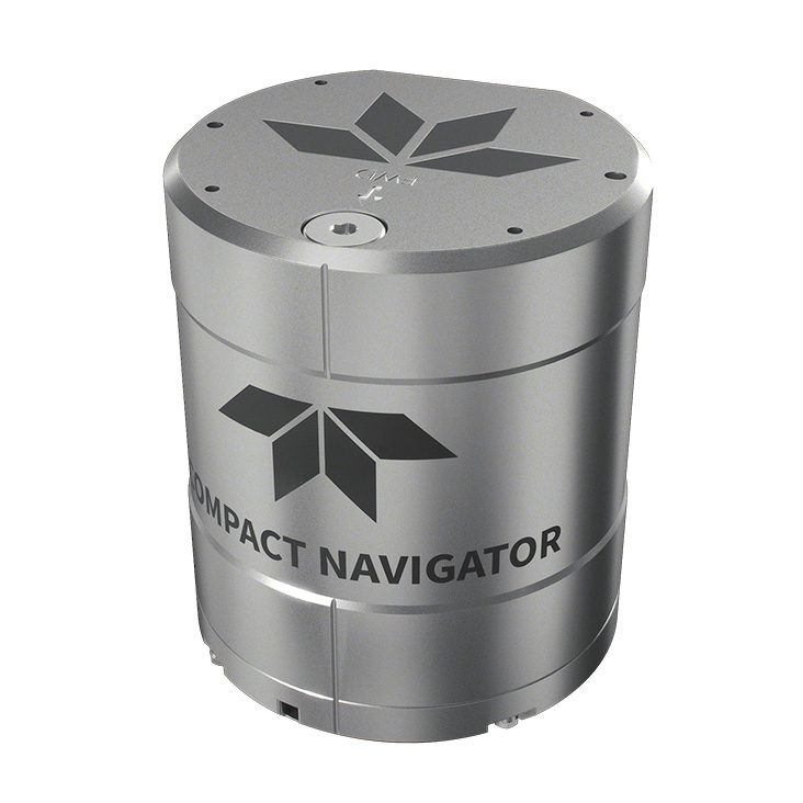
With a portfolio that spans gyrocompasses, inertial navigation systems (INS), attitude and heading reference systems (AHRS), and turnkey hydrographic solutions, Teledyne Marine delivers complete, integrated navigation and positioning technologies tailored to meet your specific needs—on the surface, in the water column, or on the seabed.

